How Ordnance Survey is using AI to map the future
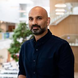
A Talk by Manish Jethwa (CTO, Ordnance Survey)
About this Talk
Britain's national mapping service has moved on a long way from paper maps as it now looks to use artificial intelligence to understand, interpret and derive insights from geographical data. Manish Jethwa, CTO at Ordnance Survey (OS), is leading the organisation’s development of next-generation geospatial technologies, turning geographical data into useful insight. Customers don’t want lightbulbs, they want light. At OS, customers don’t want data, they want insights. This talk will discuss how better data can support critical decision making.